Skillnad mellan versioner av "RPLidarA2"
| Rad 7: | Rad 7: | ||
[[Fil:Lidar.png|500px]] | [[Fil:Lidar.png|500px]] | ||
| + | [[Category:Kna-Wiki]] | ||
Nuvarande version från 3 februari 2021 kl. 15.04
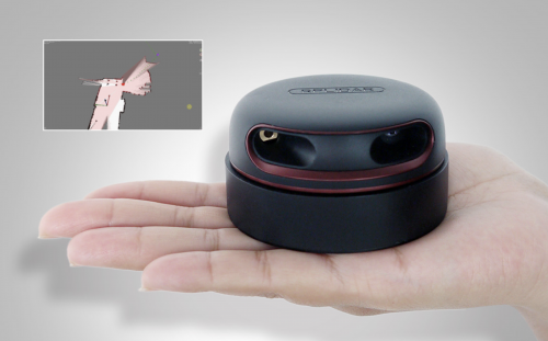
The core of RPLIDAR A2 runs clockwise to perform a 360 degree omnidirectional laser range scanning for its surrounding environment and then generate an outline map for the environment.
